802.11b Mapping
Lately I have read several articles related to mapping 802.11b wireless access points.
After doing a little quick research, I decided to give it a try. I used a program called
Netstumbler, a laptop with a wireless card in it, an external
antenna for the wireless card, and my Garmin 12 GPS receiver.
After driving around and collecting data, Netstumbler's log was ran through a little program called
WiMap. This exports the data into something that Street Atlas USA
can import.
Here's the result of my experimentation:
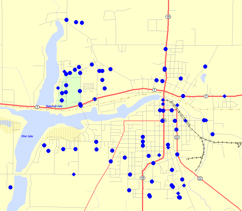
Access point locations overlayed onto map of Hutchinson, MN
1/19/2003
Go back